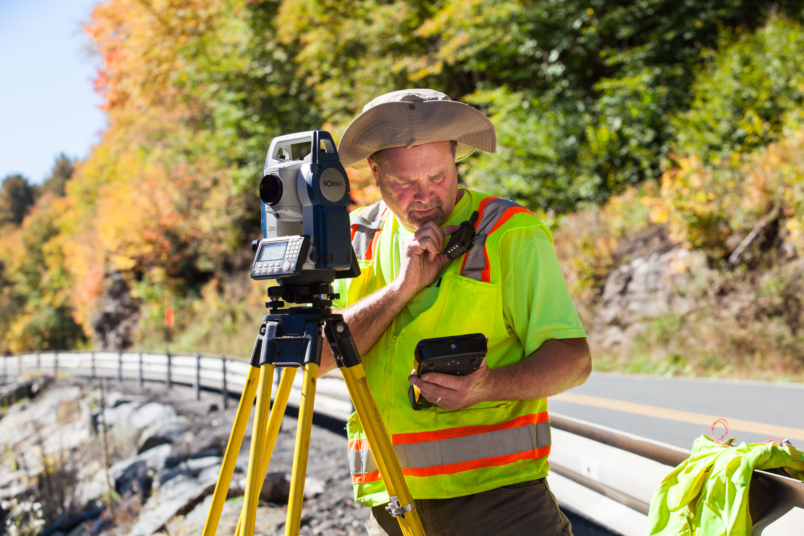
A topographic survey is required before the construction of any new building, an existing one or any other construction project. This survey takes a lot into consideration before the actual project starts. Beginning from land, other aspects such as elevation, natural to man-made features on the land where the construction is to start are dwelt on before the construction starts. When the surveyors are sure of some of these aspects and there is accurate information in their hands, this is when the actual work starts. All of this depends on the result of the survey. An accurate picture of the survey will always help construction engineers to plan things better when they know where to start from and which areas to focus more on.
Why do we need topographic surveys?
People will have curiosity on why such a survey is required and the reliability of it. Here we will try to understand the need for this survey better. Primarily, a survey such as this is of great use to the person heading a construction project and the engineers who will be working on the project to understand the elevation of the land in concern. After the completion of this, engineers will decide amongst themselves if at all there is any need to get rid of undesirable particles present on the land or carry out the work by simply heightening the surface of the land. These surveys are used by the governments too during construction of a new building. Furthermore, a survey such as this will tell one how stable a building could be if built on the piece of land in days to come. So, if there are things that need to be fixed to ensure the building remains stable, this survey will tell all.
Why is are these surveys so important?
A topographic survey is of utmost significance when it comes to certain projects that deal with natural habitat, the environment and wildlife in general. They are important when it comes to measuring a certain area for certain industries and projects that have to deal with either oil, geology or the forest. As mentioned earlier, an engineer would need it to understand what changes he would need to make on the property. Historians who are archaeologists have successfully carried out excavations and research with the help of these surveys.
The data that one gets from a topographic survey will guide engineers regarding what their plan of action should be. If the data is more, the chance of understanding the site better is an advantage. It is important that highly skilled professionals who are well versed with land surveys understand things to be considered from the data and then draw a 3D image of the site plan to explain things better to the engineers.
Today, there is not a single government body that does not use topographic surveys to understand a piece of land better. A survey provides a rough draft on how things should proceed on the land. They are becoming more and more important today owing to the kind of difficulty involved in mapping a land. These surveys give engineers and surveyors both an understanding of how to overcome problems and at the same time get data that is reliable and will work for the best too.